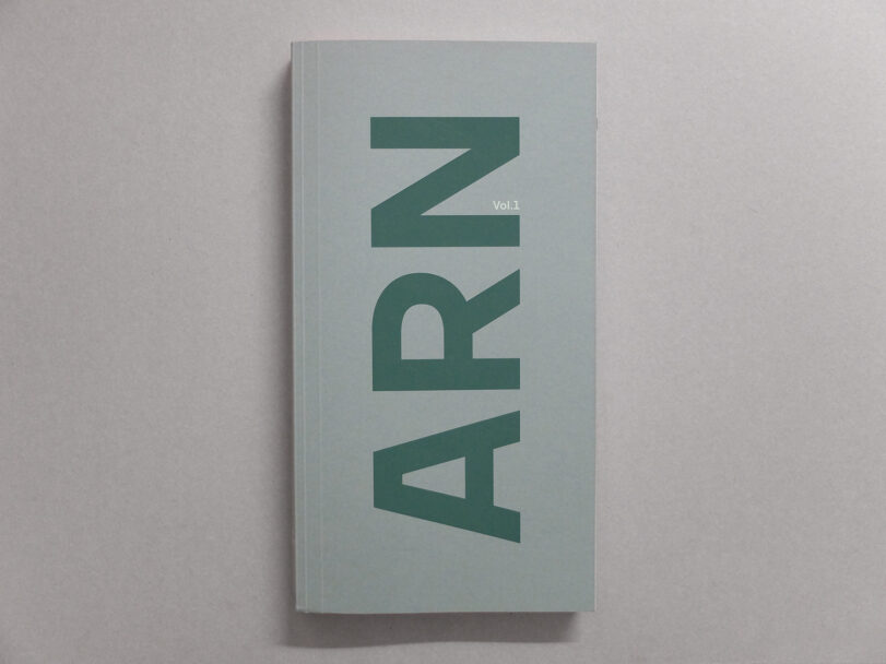
Eric Tabuchi et Nelly Monnier, ARN VOL. 1, 2021
42 Euro

Out of stock
The Atlas of Natural Regions Vol. 1 is, as its name suggests, the first volume of a photographic adventure that is as unusual in its size as it is in its duration. Started five years ago, its ambition is to document in equal measure the 450 natural regions or villages that make up French territory.
Starting from these small geographical and cultural entities such as Artois, Morvan or Béarn, Eric Tabuchi and Nelly Monnier patiently and meticulously describe our ways of investing in the landscape, of living in it, of shaping it. The streets, the houses, the shops, the activities, the typography of the signs, the names of the villages: they trace the variations, the typical things and the deviations from the norm – which, combined, define a physiognomy of our ways of living and our identities.
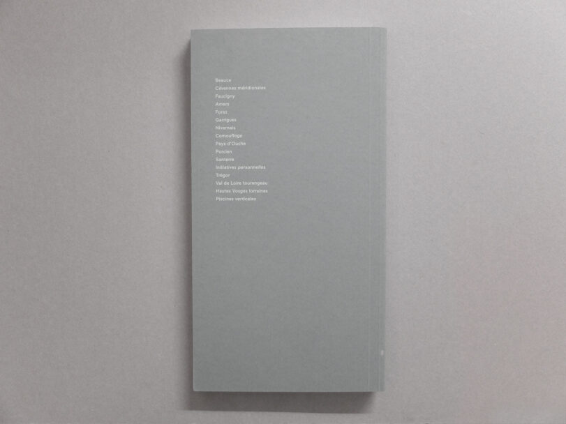
The Atlas of Natural Regions Vol.1 consists of 16 chapters, each of which is divided into three regions followed by a theme. On 384 pages, more than 650 images tell the story of architecture and its relationship to the landscape. The book is completed by an index map at the end of the book. Chapters of the first volume Beauce, Cévennes méridionales, Faucigny, Amers, Forez, Garrigues, Nivernais, Camouflage, Pays d’Ouche, Porcien, Santerre, personal initiatives, Trésor, Val de Loire tourangeau, Hautes Vosges lorraines, Piscine verticales.
Eric Tabuchi & Nelly Monnier, ARN Vol.1
GwinZegal, 2021
17 x 32 cm
384 pages,
Silkscreened softcover
Otabind binding
French
ISBN 978-2-490140-10-7
